Results
6 of 6 results showing for the search for Eastern Ladakh Standoff
Just 70 kilometres from LAC, China in underground infrastructure-building frenzy in Aksai Chin, reports say
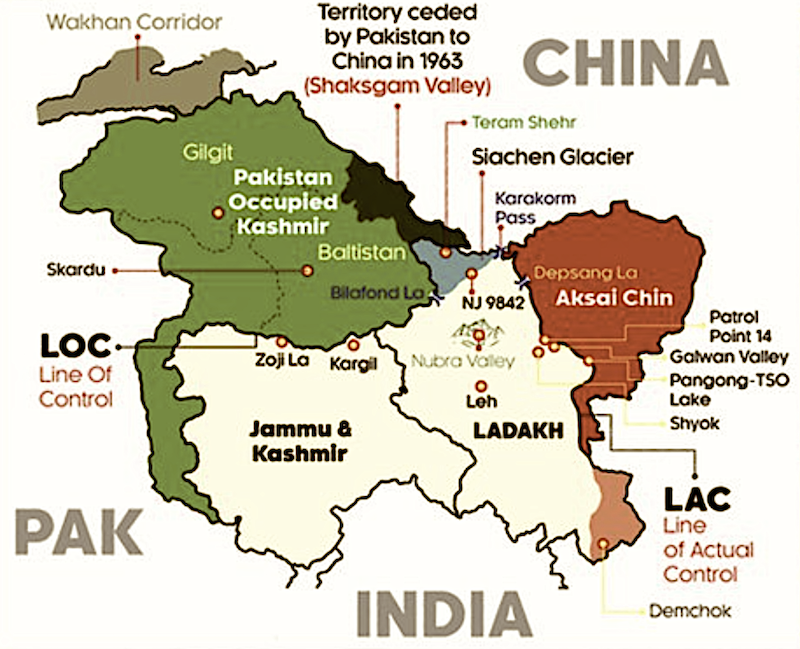
Map of Jammu & Kashmir and Ladakh. Aksai Chin is shown in red, Pakistan-occupied Kashmir in green. (Map not to scale.)New Delhi: China is building tunnels and bunkers just 70 kilometres from the line of actual control in Aksai Chin, at least two ...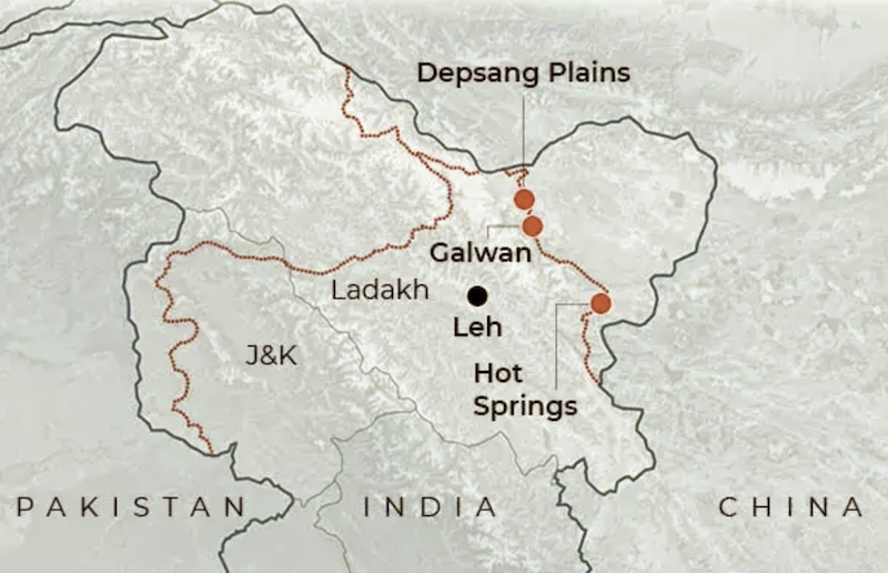
As condition for disengagement in Depsang Plains, China demands creation of buffer zones deep inside Indian territory in eastern Ladakh
Map showing location of Depsang Plains. The red line on the left depicts the line of control (LoC) with Pakistan and the same on the right depicts the line of actual control (LAC) with China. (Map not to scale)New Delhi: China has laid down its terms...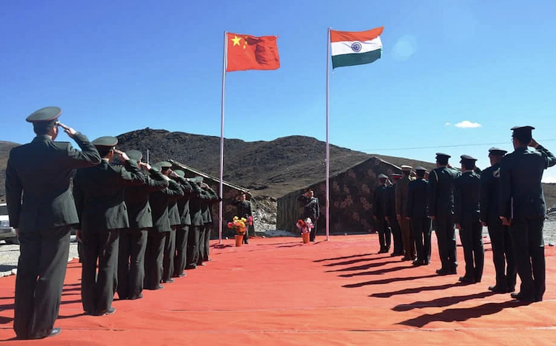
First corps commander-level talks between India and China takes place after December 9 Tawang clash
Indian Army and PLA soldiers during a meeting near the LAC in northern sector. (Photo via Twitter)New Delhi: India and China held their 17th round of corps commander-level talks to resolve the ongoing stand-off between the militaries of the two count...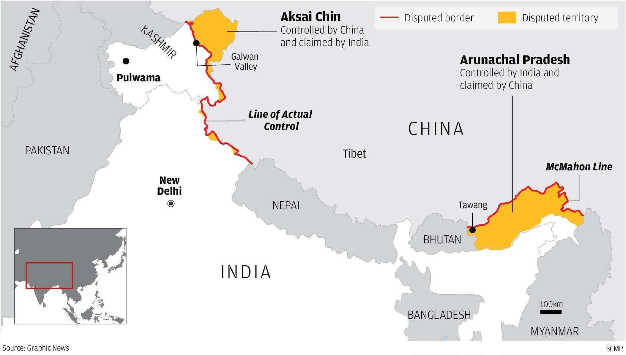
India must move earnestly and quickly to settle border dispute with China
The India-Tibet border with disputed territories marked in yellow. India and China never shared a common border until China annexed Tibet, a process it started in 1950. This brought the dragon right to our doorstep. With its annexation of Tibet,...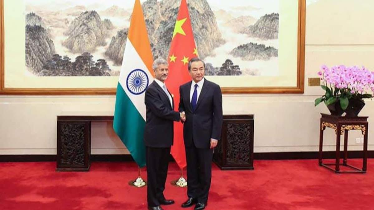
India asks China to ensure comprehensive disengagement of troops in Ladakh
File photo of S Jaishankar (L) and Wang Yi.Moscow: India has categorically asked China to ensure a comprehensive disengagement of troops in all the friction areas in eastern Ladakh, which is necessary to prevent any untoward incident in the future. &...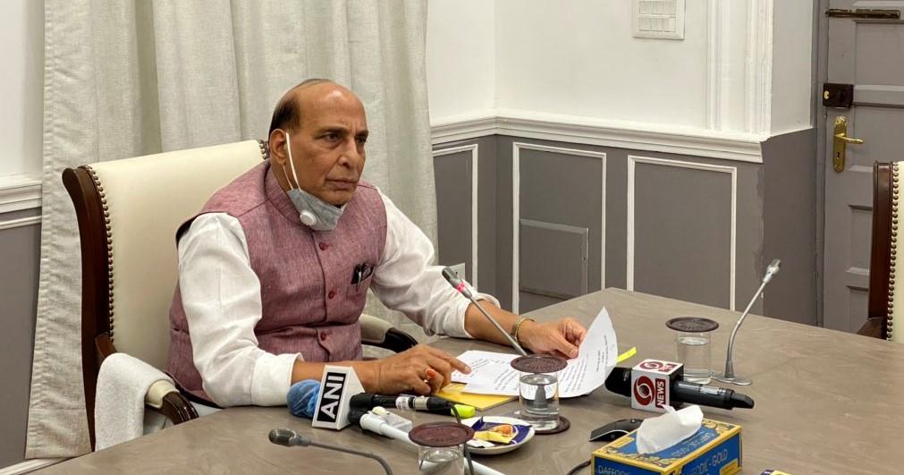
Eastern Ladakh standoff: Defence Minister holds review meet with CDS, services chiefs
New Delhi: In the wake of ongoing border standoff between troops of India and China in Eastern Ladakh, Defence Minister Rajnath Singh on Friday held a meeting with Chief of Defence Staff General Bipin Rawat and the chiefs of three services to review ...Results
6 of 6 results showing for the search for Eastern Ladakh Standoff
About Us | Contact Us | Privacy | Cookies